
Community comparison
Provider market boundaries group historical transactions. They can differ from municipal neighbourhoods, postal areas and the names used in builder marketing. An all-types median changes with the mix of homes sold.
ON · COMPARE THE SETTING
Compare the surroundings of named new-home projects. Explore resale context, nearby amenities and address-specific location observations before choosing a shortlist.
Explore Oro-Medonte new homes ↗Oro-Medonte includes addresses with different surroundings. Start with the local resale observations where supplied, then investigate the specific project setting. The location examples below are selected from active projects with recorded addresses and coordinates, with a second distinct location where available.
Provider market boundaries group historical transactions. They can differ from municipal neighbourhoods, postal areas and the names used in builder marketing. An all-types median changes with the mix of homes sold.
Local Logic scores, places and demographics are tied to a named project reference. They are not city averages or proof that the entire surrounding community has the same characteristics.
Check the complete journey to everyday destinations, confirm school eligibility with the relevant board, and visit at the times that matter to you.
ADDRESS-SPECIFIC REFERENCES
These examples come from recorded project locations, with preference for a second distinct point when available. They are not a ranking or a representative sample of the city. Recorded addresses can be sales or presentation references; known sales-address exceptions are excluded from these examples. Confirm the development site and individual lot or entrance before relying on local information.
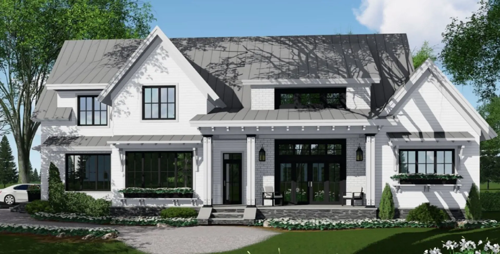
PROJECT LOCATION EXAMPLE
Oro-Medonte Line 2 & Bass Lake Side Rd W, Oro-Medonte, ON L0L 2L0, Canada
Local Logic area label: Oro-Medonte. This label is not a verified match to a HouseSigma community.
Recorded reference: 44.52025, -79.6704074
Provider demographic study area: approximately 400 metres around the reference. Underlying census periods may be older and vary by field; this is not a city or whole-neighbourhood total.
Provider demographic study area: approximately 400 metres around the reference. Underlying census periods may be older and vary by field; this is not a city or whole-neighbourhood total.
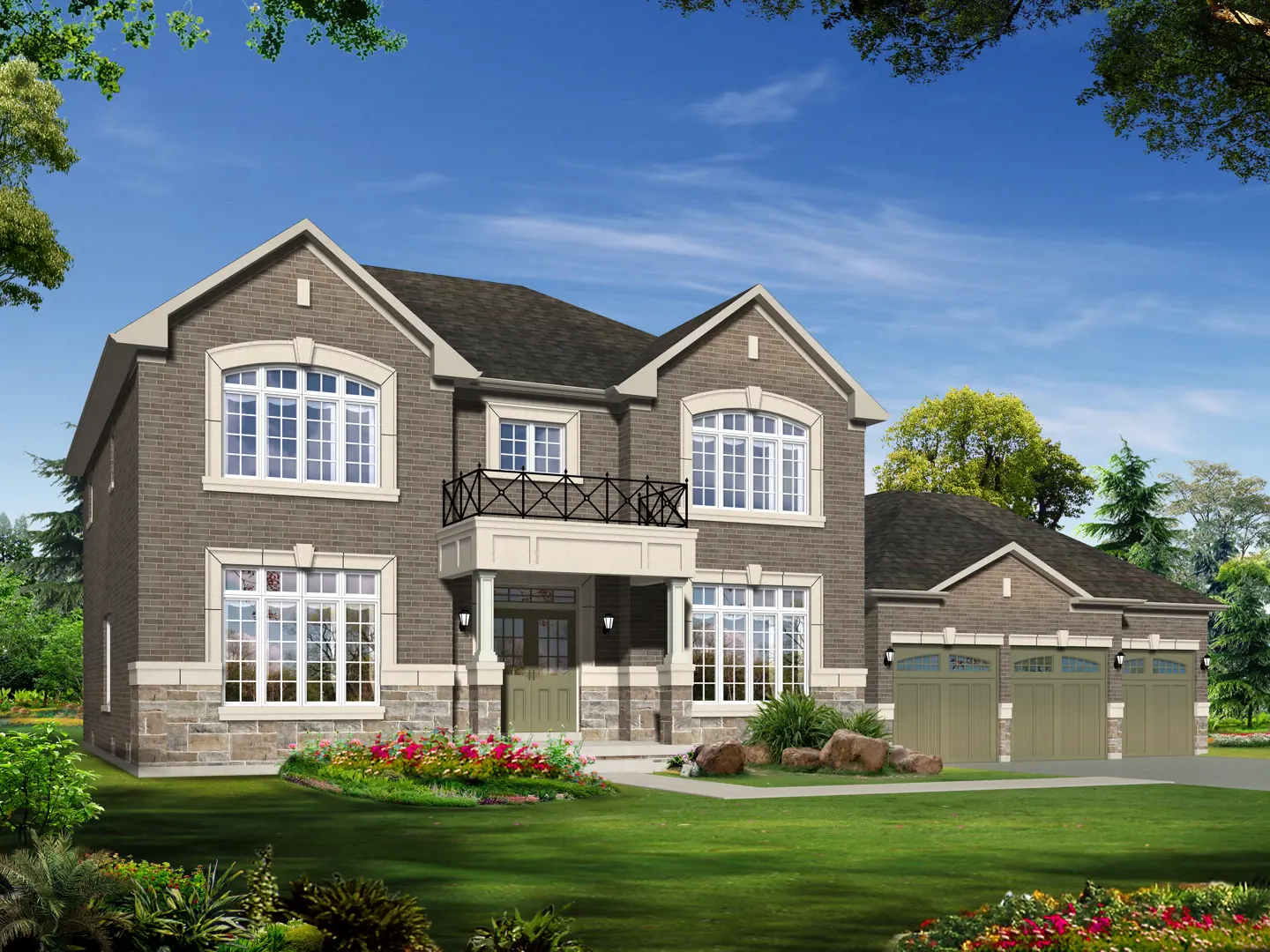
PROJECT LOCATION EXAMPLE
Horseshoe Valley Rd W & Line 6 N, Oro-Medonte, ON L0K 1E0, Canada
Local Logic area label: Oro-Medonte. This label is not a verified match to a HouseSigma community.
Recorded reference: 44.5681489, -79.63591219999999
Provider demographic study area: approximately 400 metres around the reference. Underlying census periods may be older and vary by field; this is not a city or whole-neighbourhood total.
Provider demographic study area: approximately 400 metres around the reference. Underlying census periods may be older and vary by field; this is not a city or whole-neighbourhood total.
Local Logic requests are cached for up to 24 hours; underlying records can be older. Amenity queries use a 2.5 km radius, while schools retain provider coverage. Distances are straight-line, not walking routes or travel times. School proximity does not establish admission eligibility.
TURN RESEARCH INTO A USEFUL VISIT
Prepared independently by Team Arora. New-construction catalogue information comes from the saved October 12, 2026 refresh. Local Logic supplies address-based scores, area labels, nearby-place records and demographic data where available. HouseSigma aggregate exports supply separate community resale observations through September 2026. These providers use different geographies and time periods.
We do not average project-point scores into a city score, claim that a project belongs to a market community from its name, or turn historical resale medians into a builder price forecast. Missing observations remain unavailable. Confirm current services, routes, school boundaries and contract information with the relevant source.